Mexico 2018: Merida and the Yucatan
Tuesday, July 10:
Once we arrived in
Merida, we made our way over to the rental car office. Of course, the price we were quoted online
was way less than they first told us. In
fact, they wanted to charge us double the price. We knew that there are some mandatory Mexican
insurance that you have to pay, but we were told that was included in the first
price. Then there was more insurance you
have to get (third party insurance). We
tried to explain that our credit card covers some of it, but they insisted it
didn't cover it (it was a gray area). We
called around to see if any other car rental places had something cheaper. A few could give us a bit cheaper price, but
didn't have a van to rent right now. So we had to bite the bullet and rent the van. We did get them to give us a “discount” and
bring the price down a bit.
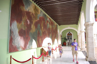 |
| Governor's Palace, Merida |
Finally, we
made our way to our hotel which was in the center of the old colonial part of
town. In fact, the LDS temple and the
mission office were a half a block away from our hotel. We walked around downtown, not used to the
heat and humidity. After looking around
at the governor's palace and the cathedral, we found a place to eat some really
good gorditas. We then went to 7 Eleven
and got slurpees and ice cream and sat in the zocalo (plaza) to relax and
people watch. After looking at some more
shops, we went back to the hotel for a nice dip in the pool before bed.
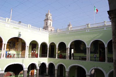 |
| Governor's Palace, Merida |
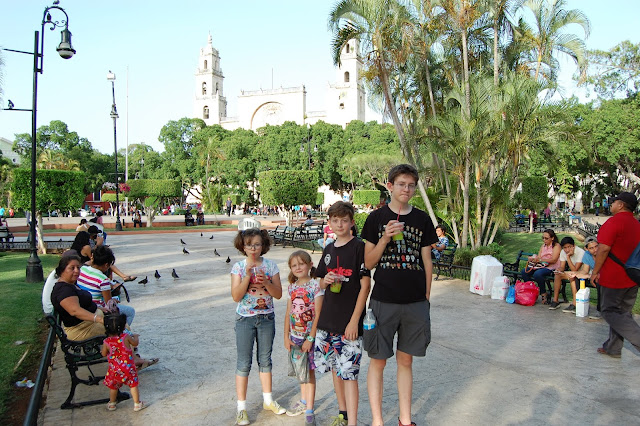 |
| Zocalo in Merida |
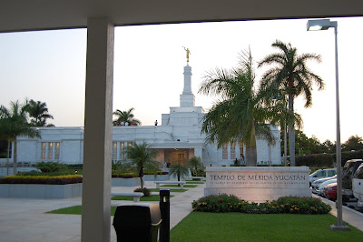 |
| LDS Merida Temple |
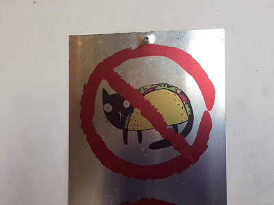 |
| Unfortunately, no taco de gato here! |
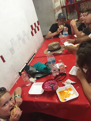 |
| Really good Gorditas for dinner |
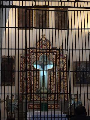 |
| Blistered Christ statue in Merida Cathedral |
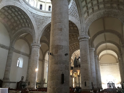 |
| Merida Cathedral, the oldest in the Americas |
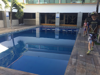 |
| Our hotel pool |
Wednesday,
July 11:
To avoid the heat and the crowds, we got an early start
and headed out to the ruins at Uxmal.
After an hour and a half drive, we arrived and found the place mostly
empty. The temperature was already
rising, so we started exploring the ruins.
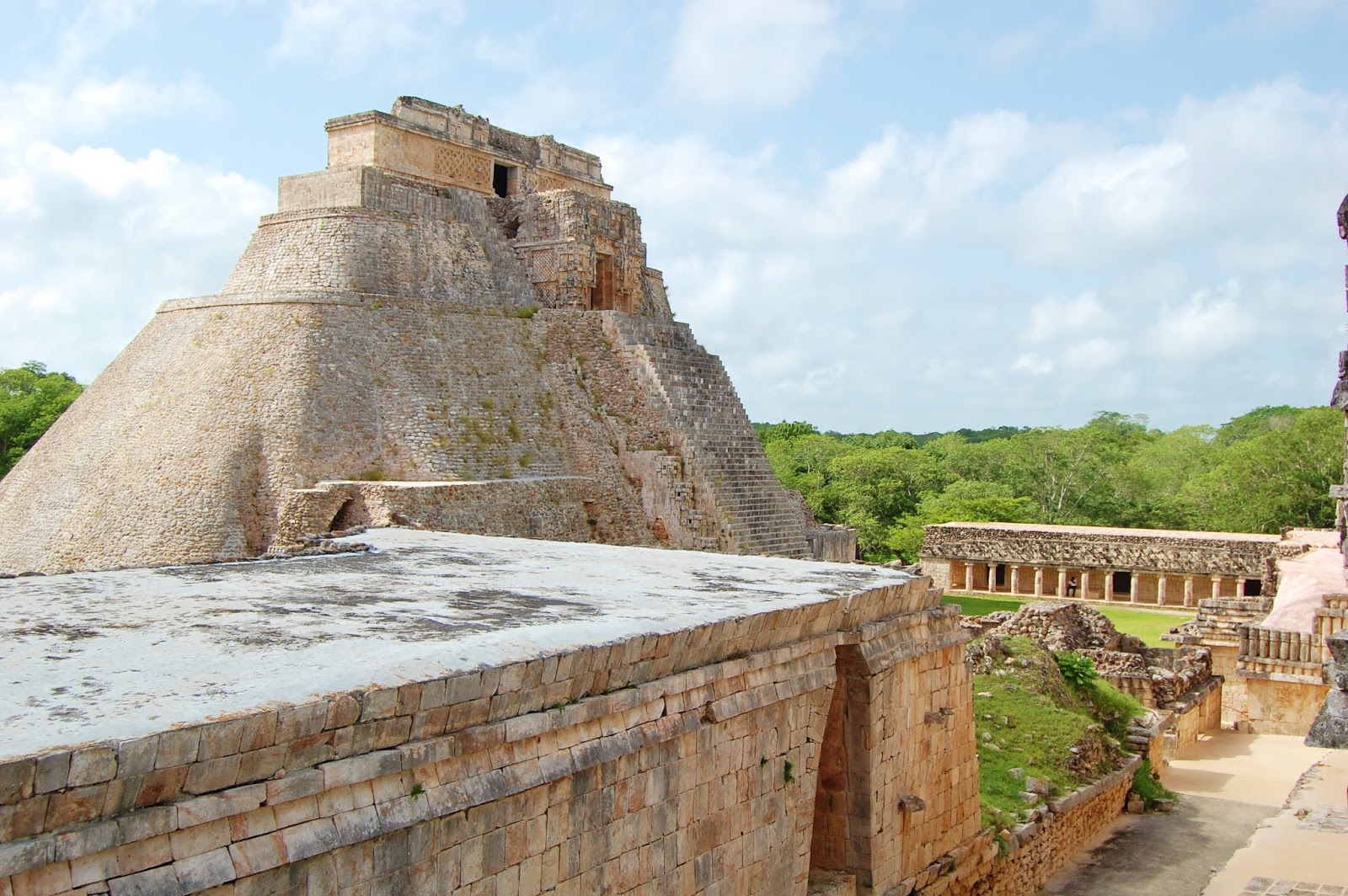
Uxmal is in good condition and is famous for the details on the facades
of the buildings. There were amazing
carvings of the rain god Chac, along with parrots, snakes, and many other
creatures and patterns. We spent several
hours weaving in and out of the ruins.
By the time we were done, the crowds were starting to arrive and it was
really getting hot.
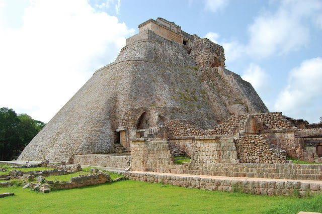 |
| Ruins at Uxmal |
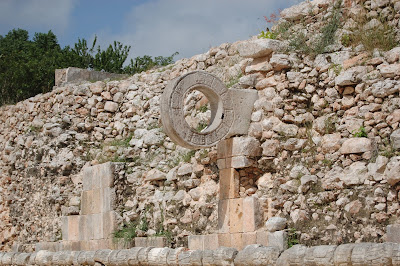 |
| Ball Court |
 |
| Governor's Palace |
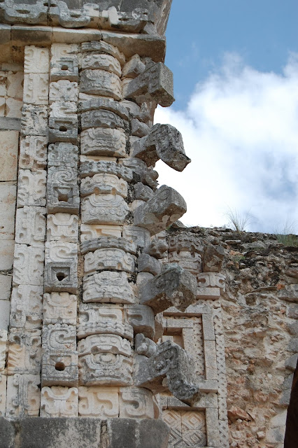 |
| Chac masks |
 |
| Great Pyramid |
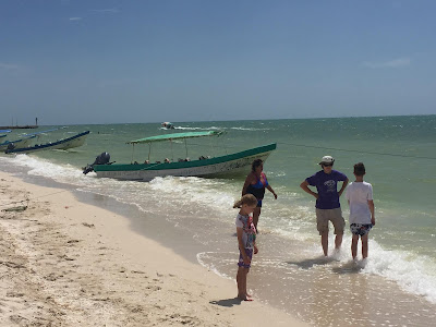 |
| Celestun, on the Gulf of Mexico |
We then decided to take some backroads and make our way
over to the town of Celestun, which is on the Gulf of Mexico. We definitely took the scenic route, passing
though small villages on small one lane roads.
We passed many old hennequin (rope) plantations. After a few wrong turns
and backtracking (and an afternoon downpour), we finally arrived in Celestun. It was quite windy, but the gulf water was very
warm. The kids played in the water a bit
to cool off and then we got back into the car for the drive back to Merida.
Again we walked down to the center of Merida. We walked over to the Passeo de Montejo, a
wide boulevard that has many of the old mansions that belonged to the hennequin
plantation owners. We did a bit more
shopping and again went back to the hotel for a swim in the pool to cool off
from a hot day of walking.
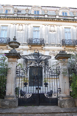 |
| Mansions on Passeo de Montejo |
Thursday,
July 12:
We packed up and got on the road early for the four hour
drive across the Yucatan Peninsula over to Cancun. We took the more expensive toll road, which
is worth it since you can go freeway speeds on very nice roads with little
traffic. We were hurrying to get to the car
ferry at Punta Sam, which is just north of Cancun. Our original plan was to take the rental van
on the car ferry out to Isla Mujeres, where our hotel was. The guide book said that they charge for the
car and driver, plus a fee for each passenger.
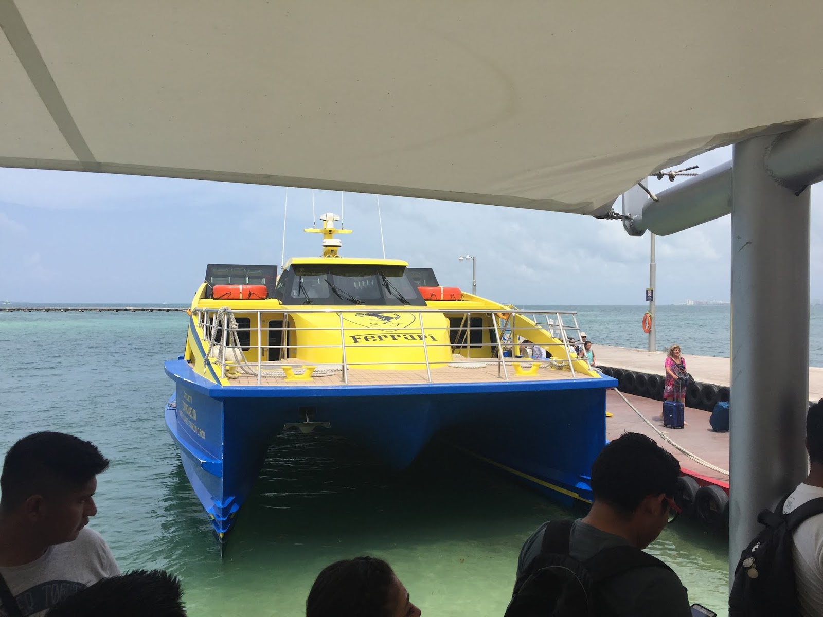
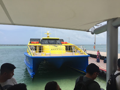 |
| Ferry to Isla Mujeres |
Once we arrived at the port, however, we learned that they
had recently changed the rule and now only the driver and one passenger were
allowed, no one else. There were a few
water taxi boats that said that they could take the other passengers out there
for $25 per person! They said it was for
a round trip, but we were certain that wouldn't work out! It all screamed of a giant money making
scam. We then found out that we could drive
a few minutes south and park the van for a couple of days and take the walk on
ferry. We negotiated the price and ended
up getting on the ferry for $12 a person round trip, plus free parking. So, we emptied out everything out of the car
(all of our stuff, plus some food that we were taking to the island) and caught
the Ultramar ferry over to Isla Mujeres.
The trip only took about 25 minutes.
Fortunately, our hotel was only a five minute walk from the ferry
dock.
Well, we finally found all of the American Gringos! As soon as you got off the ferry the main street
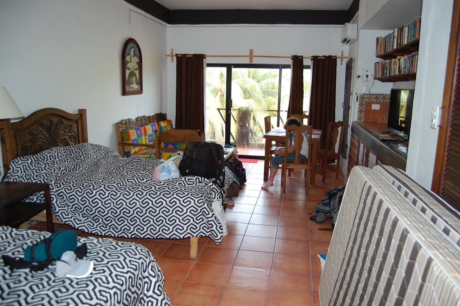
is covered with overly-sunburned gringos, many of them drunk. Our hotel was more of a suite that has a
small kitchen and sitting area. There were
only four rooms and the other three were vacant, so we had the whole place to
ourselves. The owner, Jose, was very
helpful and got us all settled in (he even gave us a bigger room for no extra
charge). We were on the third floor, so
we were away from the street noise. Our
balcony looks right over the beach.
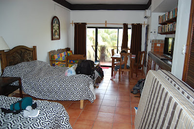 |
| Our hotel on Isla Mujeres |
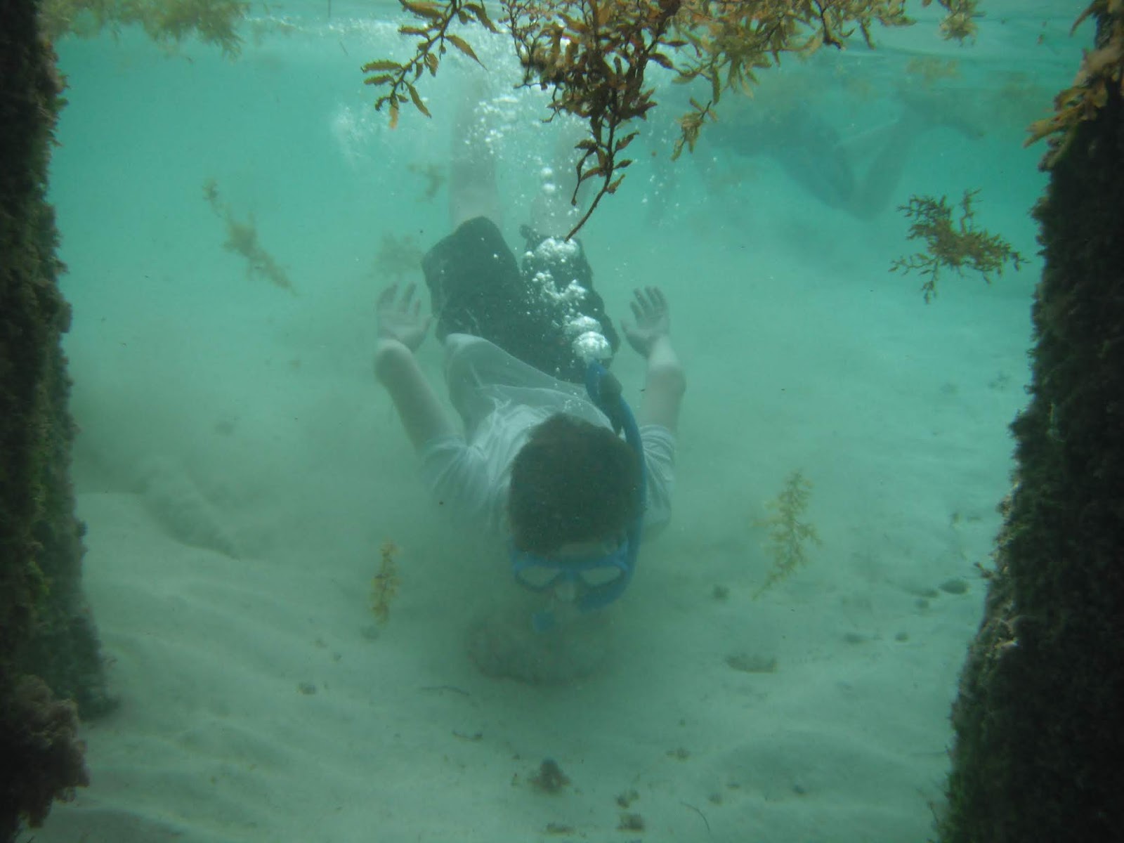
The kids couldn't wait to get in the water, so we got our
snorkel gear and walked over to the beach.
The water was crystal clear and sky blue. The snorkeling was okay, but there were quite
a few people swimming with us. We swam
for awhile, then walked around the small downtown. There were so many restaurants and shops
geared to gringos. Almost everyone was
trying to get your attention in English.
Almost all of the prices were in both Mexican pesos and US dollars,
mainly for those that couldn't do the simple math to convert the two. We instead headed over to a little plaza that
was mainly occupied by locals and had several street food vendors. We opted for some great cochinta pibil tacos
and empenadas.
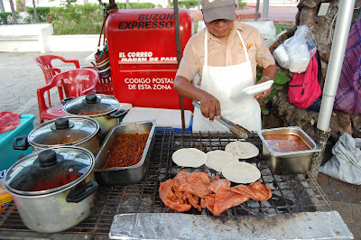 |
| Cochinita Pibil Tacos |
Friday,
July 13:
This morning we walked over to the North Beach and
arrived there before most of the crowds.
The water was extremely blue and clear and very calm. You could walked far out and still be able to
touch. There was even a little spot to
snorkel that had some fish. We ended up
talking to a lady from Pleasant Grove, Utah that has been coming here for 27
years with her family. She said that the
island has changed a lot over the years.
After spending a few hours in the water, we decided we should probably
get out.
 In the afternoon we decided to go out to the turtle
farm. Initially, we were going to rent a
golf cart to get there and to another beach on the south end of the island. Almost everyone drives golf carts around here
since the island is so small. There were
going to charge us $45 to rent one for the day, but of course they can only
hold four, so we would have to rent two (or have two kids wait around the
corner and pick them up). As a family,
we decided it wasn't worth it. Everyone
still wanted to go to the turtle farm, so we decided to walk. It was about three and a half miles from our
hotel. Even though it was completely
flat, it was very hot! Most of the time
it was around 90 degrees with 80 percent humidity! We made it there, sweaty and tired. We bribed the kids by telling them that if
they walked the whole way then we could stay an extra day in California after
the trip.
In the afternoon we decided to go out to the turtle
farm. Initially, we were going to rent a
golf cart to get there and to another beach on the south end of the island. Almost everyone drives golf carts around here
since the island is so small. There were
going to charge us $45 to rent one for the day, but of course they can only
hold four, so we would have to rent two (or have two kids wait around the
corner and pick them up). As a family,
we decided it wasn't worth it. Everyone
still wanted to go to the turtle farm, so we decided to walk. It was about three and a half miles from our
hotel. Even though it was completely
flat, it was very hot! Most of the time
it was around 90 degrees with 80 percent humidity! We made it there, sweaty and tired. We bribed the kids by telling them that if
they walked the whole way then we could stay an extra day in California after
the trip.
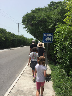 |
| The 3.5 mile march to the turtle farm |
 |
| Turtle Farm |
The turtle farm was interesting, but wasn't necessarily
worth the death march to get there. They
had several species of sea turtles at different ages. They even release hatchings into the sea at
night, though we couldn't stick around for that. On the walk home we stopped at a grocery store
and bought water and two liters of ice cream.
We sat in the AC and ate most of the ice cream to cool off. Once we were back to our room, we relaxed,
after having walked seven miles in hot weather.
Becky and I then walked around and got some tacos for ourselves and
brought some really good street hamburgers back for the kids. We all went over and ate the burgers on the
beach and cooled off in the water until it got dark.
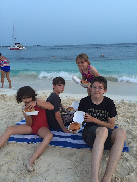 |
| Cheeseburgers in paradise |
Saturday,
July 14:
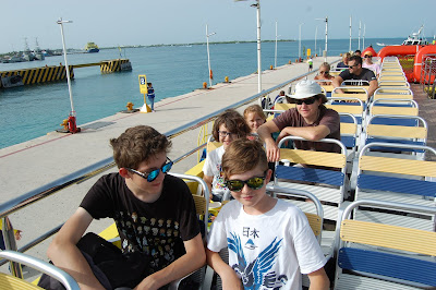
After a quick breakfast, we loaded up our bags and walked
over to catch the ferry back over to Cancun.
It's amazing how clear and blue the water is! Happily our car was still there, tires and
all! Winding our way through traffic and
the continuous sprawl called Cancun, we headed south toward Puerto
Morelos. We were hoping to do some
snorkeling there, but the beach was completely covered with Sargasm
seaweed. Even several meters out the
ocean was covered in it. In order to
actually snorkel there, you would have to rent a boat, something we didn't want
to do.
 |
| Ferry ride back to Cancun |
So, we loaded back in the van and continued to head south
toward the Gran Cenote (limestone sinkhole), which is a few kilometers west of
the town of Tulum. Even though the
cenote was full of people, it was still really amazing to snorkel in. There were lots of large stalagtites to
snorkel around and even a tunnel to another smaller cenote. The clear freshwater was cool, but very refreshing
considering the heat and humidity made it feel like over 105 degrees
outside.
 |
| Gran Cenote |
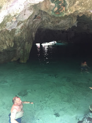 |
| Tunnel between cenotes |
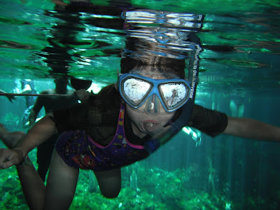 |
| Snorkeling in Gran Cenote |
After a couple of hours swimming around, we drove back
over to the ruins at Tulum. The most
impressive part of the ruins at Tulum is their location. Most of the ruins sit atop a cliff
overlooking the Caribbean. The light
gray color of the limestone ruins contrasted with the green of the vegetation
and the blue of the water. Even though
it was midafternoon, the ruins were still pretty crowded. It was hot, but a
nice breeze blew in off of the water.
There was a small beach area you could access, so we spent a few minutes
playing in the sand. The kids really enjoyed
all of the iguanas that were crawling around the ruins. We were pretty hungry and went over to the
deli at the Chedraui supermarket for some sandwiches, fries, and chicken.
 |
| Coati |
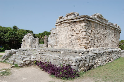 |
| Ruins at Tulum |
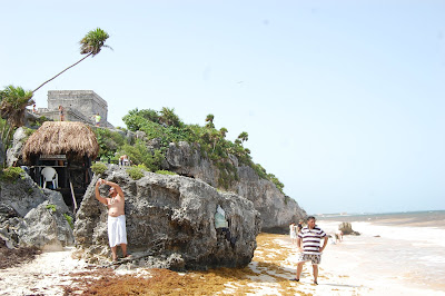 |
| Beach at Tulum |
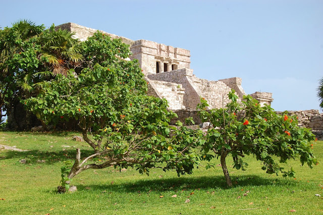 |
| Tulum |
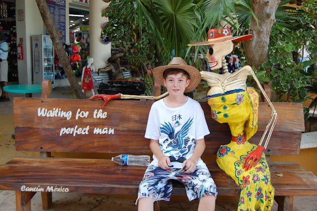 |
| She's still waiting... |
Sunday,
July 15:
 |
| Not our rental van, but would have been cool if it was our van! |
This morning we attended church in Tulum. After that we drove over to the ruins at
Coba. The ruins are quite spread out, so
many people rent bikes. Since it is all
flat and in the trees, we decided to just walk to each area. There are several tall pyramids in the
area. The tallest, called the grand
mound, is the second tallest pyramid in the area. There are 115 steep steps to the top. We all climbed up to the top. From there, you could see all around the very
flat jungle of the Yucatan peninsula.
Once down, we looked around at more of the ruins. There were several stelae (stone tablets) in
the area, but most were very worn down.
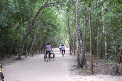 |
| Bike paths around the ruins at Coba |
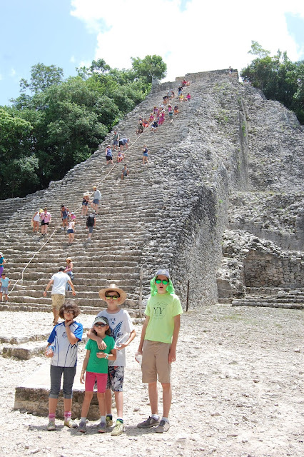 |
| The large mound pyramid |
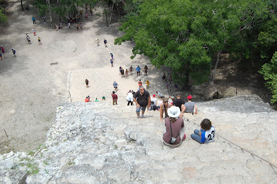 |
| View from the top |
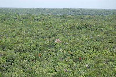 |
| View of the jungle from the top of the pyramid |
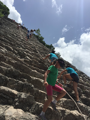 |
| Climbing down |
 |
| Ruins at Coba |
We then got in the car and drove over through the city of
Valladolid. From there we made our way
over to the area around Chichen Itza and found a hotel for the night. A thunderstorm moved through the area as we
ate our dinner outside.
Monday,
July 16:
We woke up to a mist in the jungle. The weather said it was 100% humidity
outside. We got an early start so we could
beat the heat and the crowds at Chichen Itza.
Even though we arrived a half an hour after they opened, the place was
already busy. But once you enter you
understand why. The main pyramid is very
impressive. We walked around the ruins,
starting with the ball court, which was the biggest in the Americas.
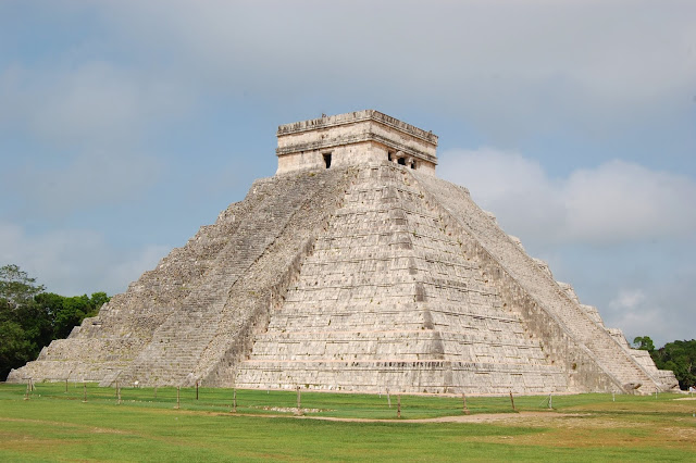 |
| Main pyramid at Chichen Itza |
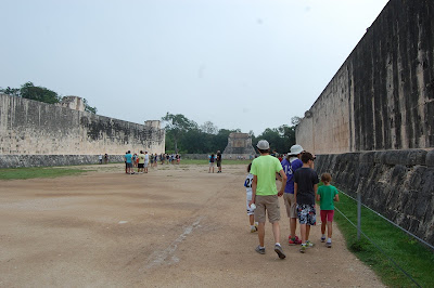 |
| Ball Court |
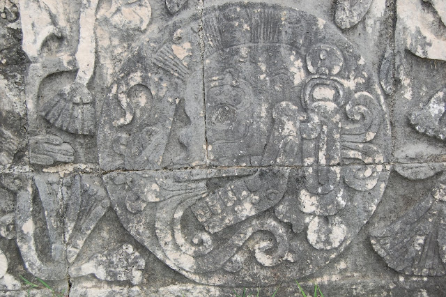 |
| Carving at ball court. Check out the mohawk! |
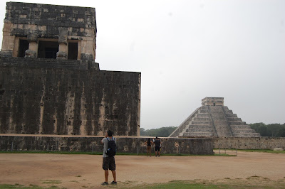 |
| Ball court |
 |
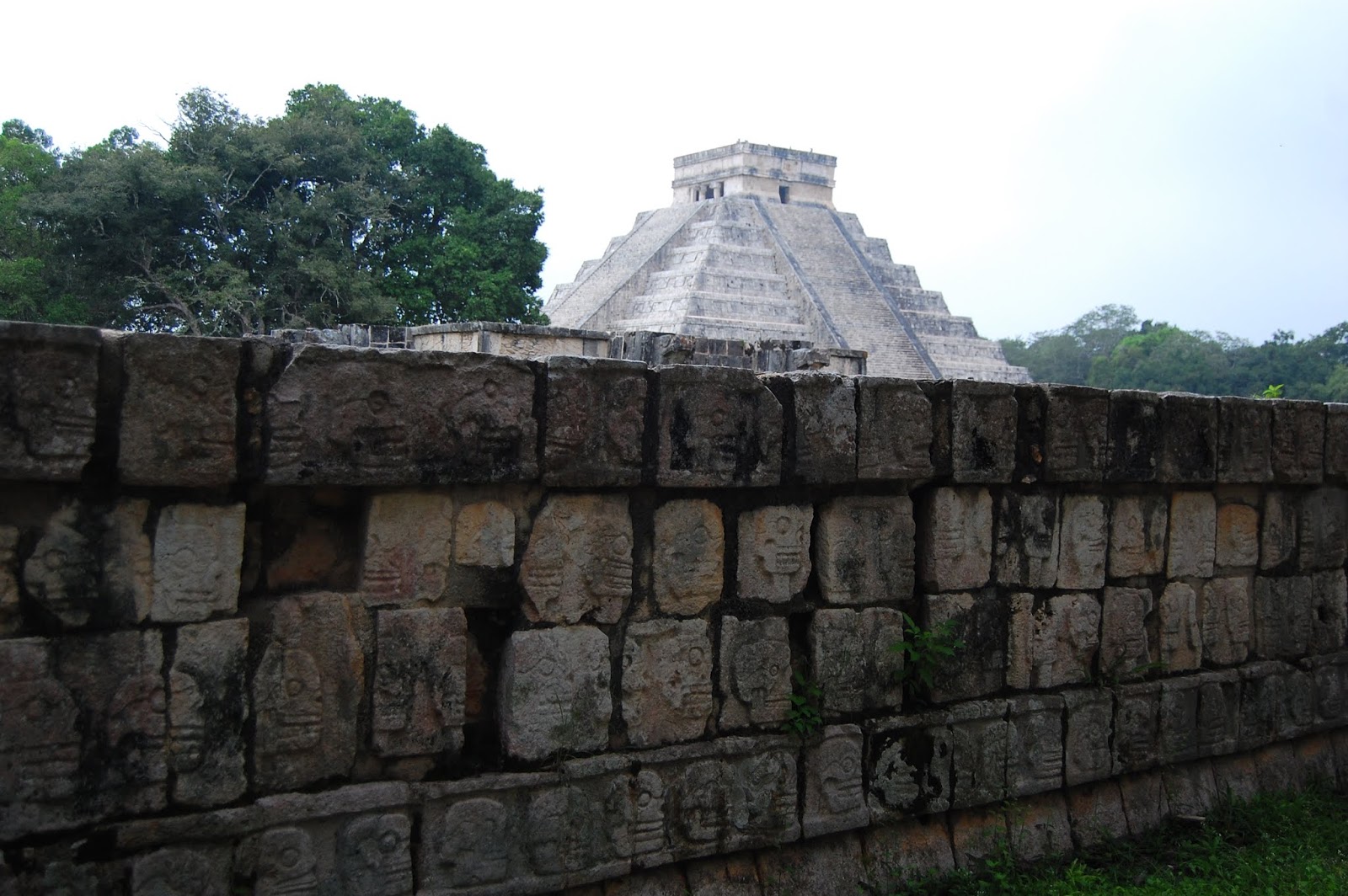
| Skull platform |
 |
| Jaguar eating a human heart |
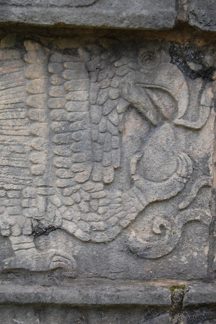 |
| Eagle eating a human heart |
 |
| Warrior holding a decapitated head |
We made our way over to the sacred cenote where some
archeologists believe the Mayans used to sacrifice people by throwing them into
the cenote (sinkhole). As we wandered
around the rest of the ruins, the temperature started rising and more people
started flooding the place. When we
arrived at the Characol (observatory), Becky told the kids about the last time
she was here she and her brother Matt were trying to climb up to the top and
got kicked off by the guards. By the
time we got back to the exit the line to get in was ridiculously long. We were all happy that we got an early
start.
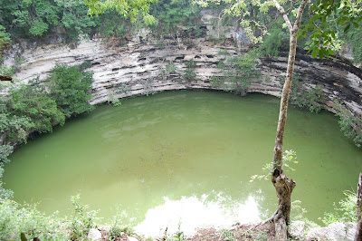 |
| Sacred Cenote |
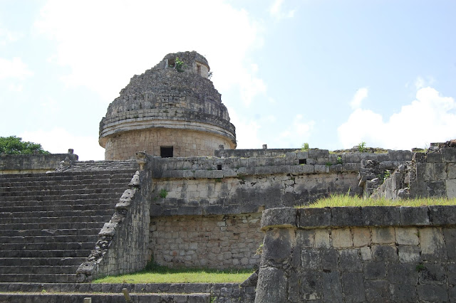 |
| Observatory. Becky and her brother got kicked off of this one back in the 90's. |
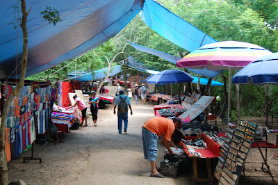 |
| The gauntlet of vendors between each ruin |
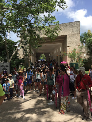 |
| The masses arriving at Chichen Itza |
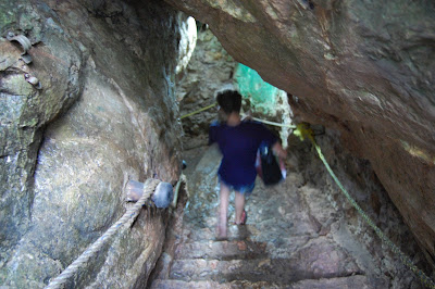 |
| Descending into cenote X'Keken |
After leaving Chichen Itza we headed east over to take a
swim in two cenotes that are part of the same park. The first one is called cenote X'Keken. To get inside, you had to descend about 40
feet. Most of the cenote is a cavern
with a hole at the top that lets natural light in (they also had some extra
lights as well). The water was a bit
chilly, but felt very refreshing since it was so hot outside. We took our masks and snorkels, since there
are some small fish in the water. But if
you got away from the natural light, you couldn't see much in the water. From the ceiling hung stalagtites and roots
growing down from the trees above.
 |
| Cenote X'Keken |
After awhile we got out and walked over the next cenote,
cenote Samula. We had to descend even
futher down for this one, being even deeper and larger in diameter. This cenote had an island in the middle that
was created from rocks that fell in from the hole in the ceiling. For safety, you couldn't swim out to the
island.
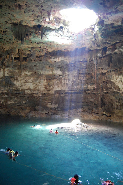 |
| Cenote Samula |
Once we were all cooled off, we went back to the
car. Outside it was over 100 degrees,
and that wasn't including in the humidity! As a family we decided to head back to
Merida. We were able to get a room again
at the same hotel we stayed at when we first arrived in Merida. For dinner we went back down to the center of
the city and looked around at some of the shops. We ended the day with ice cream and another
dip in the pool.
Tuesday,
July 17:
The kids really
wanted to go to the zoo this morning, so we walked the mile and a half over
there, with a stop for some food at a market that was on the way. For a free zoo, it was better than we
expected. The cool thing was that many
of the animals are native to the Yucatan peninsula and we had never seen them
before. The kids were really impressed
with the big cats (puma, jaguar, lions, tigers) and the monkeys. We grabbed a cheap lunch at the park and then
walked back to the hotel to jump in the pool and cool off.
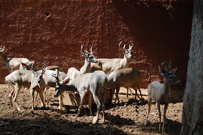 |
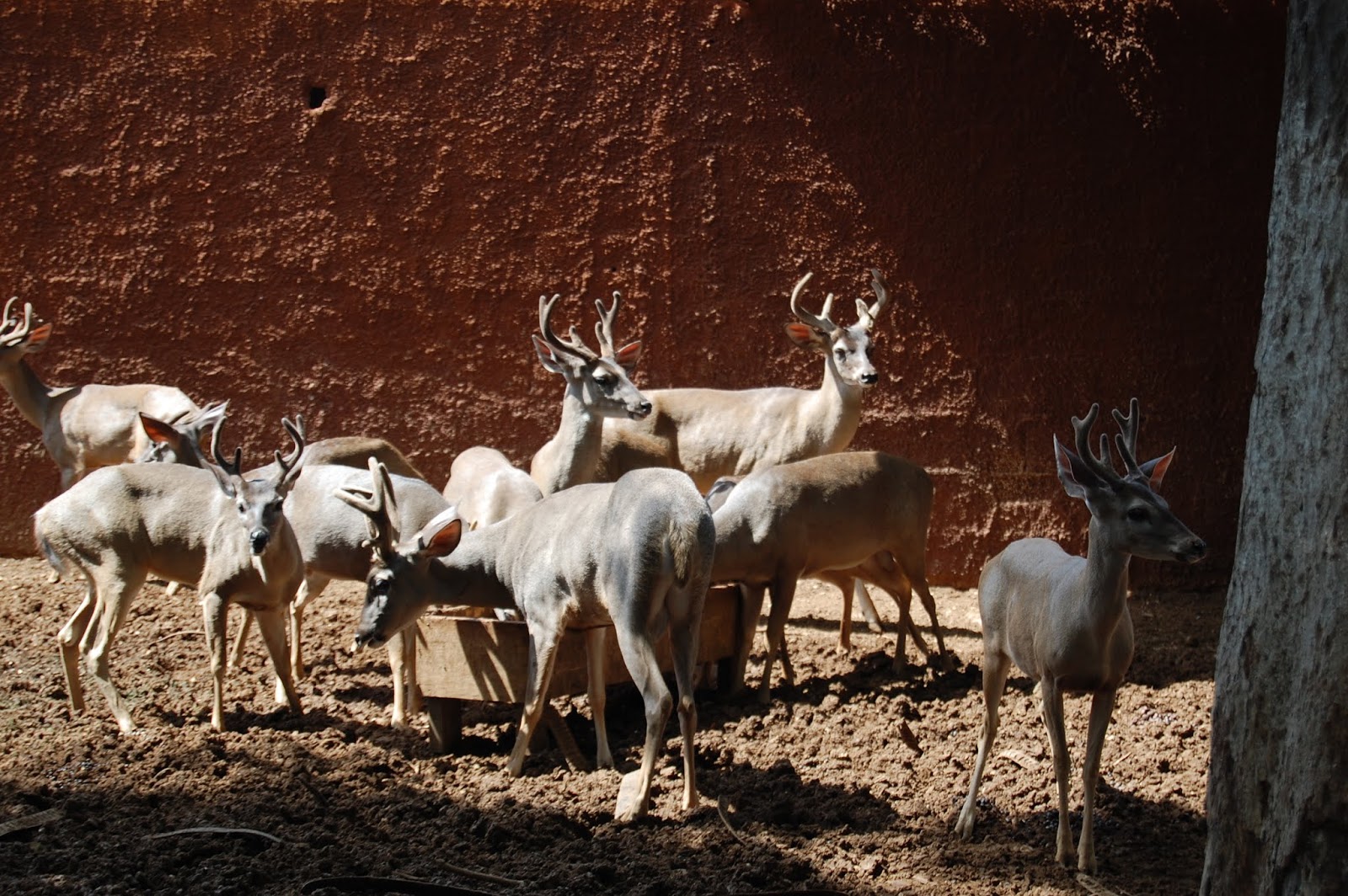
| Small deer native to the Yucatan |
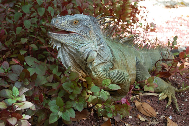 |
| This guy was just roaming around the park...the biggest iguana we've seen! |
After a short siesta, we walked back to the center of the
city to do some last minute shopping at one of the markets. We grabbed our last dinner and went back to the
hotel to pack up all of our stuff.
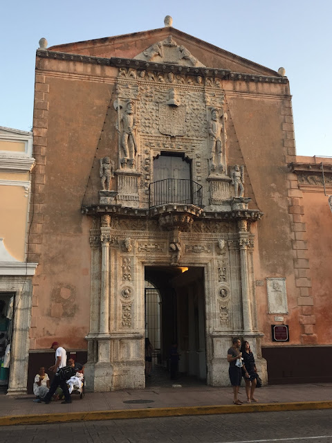 |
| Casa de Montejo, Merida |
Wednesday,
July 18:
We dropped the rental car off and arrived at the Merida
airport plenty early. After an hour and
a half flight to Mexico City we had a two-hour layover. Then it was a three and a half hour flight to
Phoenix, only to wait for four hours.
Customs and immigration was easy, but the TSA officer at security wasn’t
very polite and went through all of Jacob’s bag. He even tore into Becky’s packets of Mexican
hot chocolate, saying they were over the allowance. Becky explained to him that it was a solid,
not a liquid. He then proceeded to swab
the hot chocolate. We finally boarded
the plane to Sacramento, landing around 10:30pm.
Thursday,
July 19th:
This morning Becky and
I decided to run some errands around Sacramento. As soon as we got on the freeway, the
temperature gauge in our car shot up to ¾.
We cautiously drove on to our first stop. We noticed a ton of coolant in the engine
compartment. We let the car cool down a
bit and then tried to drive it back to Becky’s sister’s house and then to a
mechanic. After a half mile on the
freeway the gauge shot up to completely overheating and all the warning lights
went off. We then had to call a tow
truck and have the car worked on. In the
end, the kids got their wish to stay in Sacramento one extra day. Once the car was fixed, we drove back home
Saturday morning.








 In the afternoon we decided to go out to the turtle
farm. Initially, we were going to rent a
golf cart to get there and to another beach on the south end of the island. Almost everyone drives golf carts around here
since the island is so small. There were
going to charge us $45 to rent one for the day, but of course they can only
hold four, so we would have to rent two (or have two kids wait around the
corner and pick them up). As a family,
we decided it wasn't worth it. Everyone
still wanted to go to the turtle farm, so we decided to walk. It was about three and a half miles from our
hotel. Even though it was completely
flat, it was very hot! Most of the time
it was around 90 degrees with 80 percent humidity! We made it there, sweaty and tired. We bribed the kids by telling them that if
they walked the whole way then we could stay an extra day in California after
the trip.
In the afternoon we decided to go out to the turtle
farm. Initially, we were going to rent a
golf cart to get there and to another beach on the south end of the island. Almost everyone drives golf carts around here
since the island is so small. There were
going to charge us $45 to rent one for the day, but of course they can only
hold four, so we would have to rent two (or have two kids wait around the
corner and pick them up). As a family,
we decided it wasn't worth it. Everyone
still wanted to go to the turtle farm, so we decided to walk. It was about three and a half miles from our
hotel. Even though it was completely
flat, it was very hot! Most of the time
it was around 90 degrees with 80 percent humidity! We made it there, sweaty and tired. We bribed the kids by telling them that if
they walked the whole way then we could stay an extra day in California after
the trip.