Arizona and Utah, 2015
 |
| St. George Utah Temple |
Our next stop was Pipe Spring National Monument in Arizona. Pipe Spring was an old Mormon Cattle Ranch in the middle of nowhere. The main house is set up more like a fort to protect the settlers from the native population. It is set up right next to Pipe Spring. There are channels that divert the water underneath the floors of the house, which kept the bottom floor rooms cool enough to store cheese and butter.
 |
| Pipe Spring National Monument, Arizona |


We then made our way around the North Rim of the Grand Canyon (which was still closed due to snow) and crossed the Colorado River at Navajo Bridge. Navajo Bridge is close to Lee’s Ferry, where all of the rafters put in to go through the Grand Canyon.
Fortunately we decided to visit the Grand Canyon during a period of mild weather. Last time we were here it was over 105 degrees. This time though it was a nice 68 degrees. We stopped at the Watchtower and then went over and hiked part of the Bright Angel Trail. We had to keep reminding the kids that however far down we go into the canyon, we have to hike back up, especially since some of them started running down the trail. Unfortunately Elise and her little legs couldn’t do the whole hike back up and instead rode on her personal mule (also known as dad).
 |
| Navajo Bridge |
 |
| The Watchtower, Grand Canyon National Park |
 |
| Inside the Watchtower |

 |
| Hiking down the Bright Angel Trail, Grand Canyon National Park |


 |
| What? We have to hike up? |
 |
| Bright Angel Trail |
 |
| Grand Canyon National Park |

We camped just south of the Park in Kaibab National Forest. We found a nice quiet spot with no one around (which is quite different just 10 miles north in the park). The temperature dropped below freezing at night and a whole pack of coyotes seemed to be huddled around us. Every hour or so one would start howling, then another, then another, until there were at least a dozen or so howling around us in all direction and in very close proximity to our tent. It was actually very peaceful and haunting at the same time.
In the morning we stopped and walked around at Mather Point and then started heading out of the park. We made our way up to Page, Arizona and stopped at Glen Canyon Dam and Lake Powell.
Next we drove the 47-mile Cottonwood Canyon Road that runs from just west of Page up to Bryce Canyon. This was a drive that I had always wanted to do and I am glad that we did. The BLM office said that it was mainly for high-clearance vehicles, but we were able to drive it in the minivan (we even had a Toyota Camry pass us going the opposite direction, though he probably bottomed up/high-centered on a section a few miles up the road). The road passes through a remote section of Escalante/Grand Staircase National Monument. We stopped at Cottonwood Gulch and took a short hike. We then drove to Grosvenor Arch right around Sunset. We found a campsite on the side of a ridge all by ourselves.
 |
| Grand Canyon National Park, Arizona |

 |
| Glen Canyon Dam, Page, Arizona |
 |
| Cottonwood Canyon Road, Utah |
 |
| The minvan on the Cottonwood Canyon Road |
 |
| Hiking through Cottonwood Narrows |
 |
| Arch in the Making (Siena at the bottom gives you a comparison to the size) |
 |
| Hill is steeper than it looks and with loose dirt on the road we almost didn't make it up. |
 |
| Grosvenor Arch |
 |
| Gourmet Chef Becky |
 |
| Campsite all to ourselves |
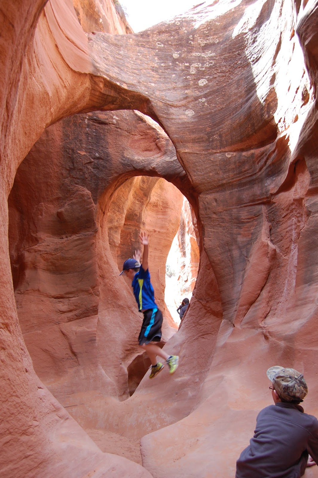
We woke up and drove over to Escalante, Utah to drive down the Hole in the Rock Road. The BLM office in Escalante said that the road had some sections of wash board. What they should have said is that most of it is really bad wash board with some short smooth sections. The wash board wasn’t bad if you
drove about 40 mph and floated over the bumps. But, if you slowed down below about 30 it sounded like every bolt in the cars was wiggling loose. We drove about 25 miles down the road to Coyote Gulch. From there we hiked down to Peek A Boo and Spooky Gulches. Becky and I have done this hike before and it is one of my all-time favorites. We started out with Peek A Boo Gulch. There is an initial 10 foot climb in, then you wind through the gulch as it get narrower.
 |
| Entrance to Peek a Boo Gulch |
 |
| Climbing into Peek a Boo |

 |
| Elise |
 |
| Marcus |
 |
| Jacob |
 |
| Helping mom through a hole |
Once we made it through, I thought I remembered how to find the back way over to Spooky Gulch. Well, after about 12 years I completely forgot where it was and ended up walking back in forth for almost an hour looking for it. To make things worse, we ran into another family there that were looking for Spooky and I told them I knew the way. So, after leading 15 or so people through the desert (luckily it was only about 75 degrees), we finally found the entrance to Spooky Gulch. Spooky is different than Peek A Boo in that the walls have tiny bumps all over them (or as the kids called them, zits). Also, Spooky gets very tight in spots; so tight you can barely make it through. In a few sections it is so narrow inside that very little light shine in making it a little scary inside (hence the name Spooky). Once we made it out, we hiked back up to the cars and made the long drive back to Salt Lake City.
 |
| Entering Spooky Gulch, as you can tell by Siena's face |


 |
| Jacob dropping down through the choke stones |

 |
| One of the real narrow sections |
